Foray to Western Maryland
 Look at this photo...this highway is called Interstate 68. This mountain pass (if you can technically call it that) is the gateway to Western Maryland, the wildest part of my native state. Last Sunday (just over a week ago now) I decided to go to a place that I had not been to in a long time. The mountain gap in the photo above is a place that I passed by on the way out to the park. This mountain is called Sideling Hill, and to build the highway through it they literally dynamited the whole mountain. Driving to Western Maryland through this highway (built in the early '90s) saves you 40 minutes to an hour on the trip each way. When you take this highway, the road goes very high up, and is a bit of a chore to drive. To the right of the area that this photo shows is an exit where you can pull off to see a museum about the highway construction, as well as get this beautiful view from on high...
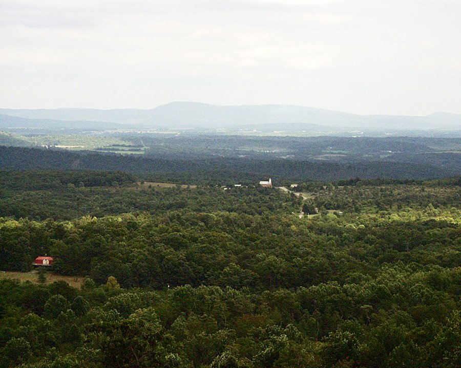 Not bad for a start, huh? And this is only about halfway on the drive out to my final destination. I haven't even begun walking yet. Western Maryland is quite remote and off the beaten track. Because of this highway, it is maybe more popular than before, but before the highway it was completely unknown. As you can see it was rather cloudy. Because of this, the day was cooler than usual for summer and a bit windy, and it was already 3 PM. Quite a refreshing change from the stinking hot summer weather here near Washington, DC!!
After driving for close to three hours (and completely by myself again, as usual, I might add), I reached my goal. It is Rocky Gap State Park, which is a State Park which also has a resort attached. There are several parks in that area, but this one caught my fancy for the day. You could say that Rocky Gap is sort of a hybrid. It has a resort, complete with golf courses and a resort and conference center, with an artificial lake to boot. It also has some remote and wild nature with hardly a human being in sight.
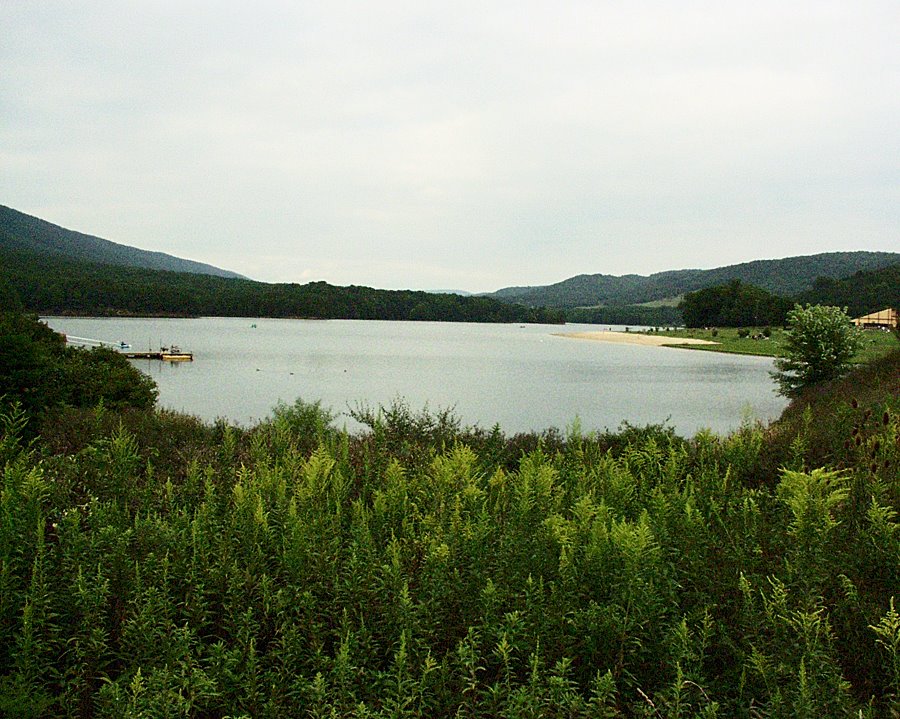 Here is a photo of the lake. I took this from the Lakeside Loop trail which goes around the lake. In the distance you can see the mountains.
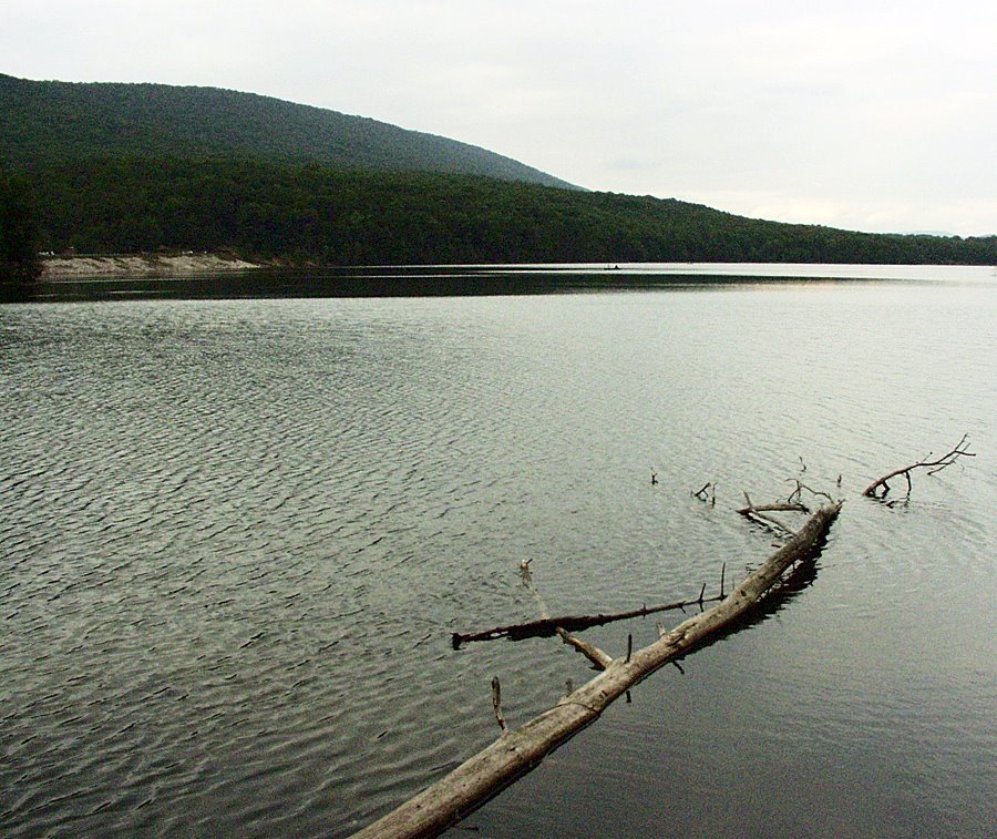 The further away you get from the resort buildings, the quieter and more remote the place becomes. Not quite quiet enough for me, though. There were still signs of human habitation almost everywhere, and I took the photos carefully to avoid showing them.
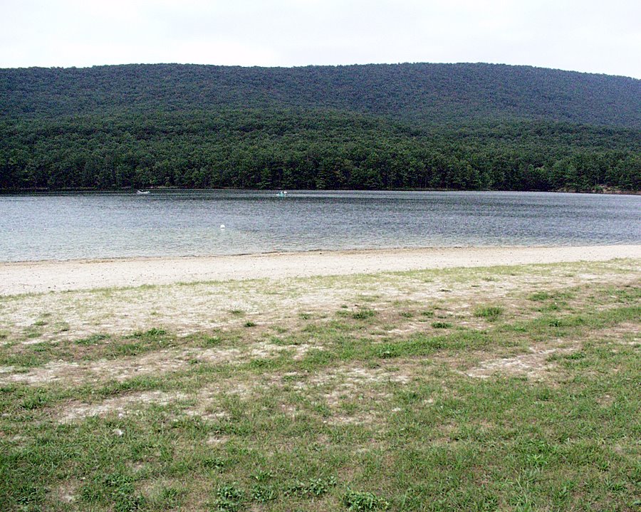 In this last photo by the lake, you can see one of the mountains a little bit more closely. It is to that area that I headed. I figured that it would be a bit quieter there, and the signs mentioned some homestead trail where some guy built a cabin to live in seclusion. So I turned in that direction, branching off from the Lakeside Trail.
 The trail turned up, climbing up through the forest. This photo is the only clear view I could get, from the very top. The ridge across the way is completely forested, covered with trees.
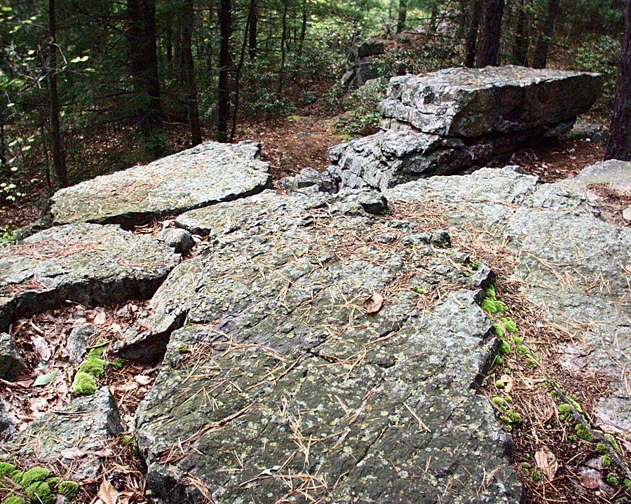
This next photo below is of an interesting rock formation that I passed over and through as I crossed the ridge. The trail went down into a valley once I crossed these rocks.
 The trail is steeper than it appears to be. I actually slipped once on my way down. Here is a view of the forest as I was walking down the slope. If you look carefully, you can see the forest leading up the slope of the mountain on the other side:
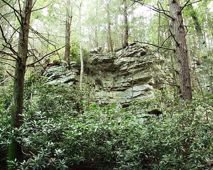
The trail then lead me into a sort of canyon that was cut through the rocks in the area. Here is a photo of the canyon wall from the bottom:
After this descent, I was at the very bottom on the other side of the mountain. At the bottom was a creek:
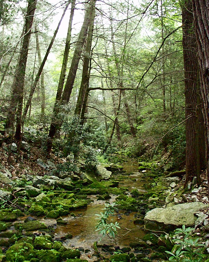

The water in the creek was extremely stagnant, and I could even smell it. However, this was otherwise a pretty area, and finally I was completely by myself. Somewhere nearby was the homestead that the hermit had retreated to, although I was not sure of the precise location. The legend goes that sometime in the 1800s, this man asked a woman to marry him, and when she refused, he went into seclusion into this area of the hills.
I must say that I enjoy seclusion, but only for a few hours or a day or two at a time. However, he chose a pretty beautiful place for it if the legend is true.
I continued walking up the next hill, until I reached the trail that went to that old homestead. I paused here for a break before turning back the way that I came. I had a snack of a peanut butter bar, and I made some coffee with a camping stove and a special insulated pot. It is a propane/butane stove, and I heated up some water, and added the coffee. I had a "French press" attachment for the pot designed to filter out the coffee grinds. I felt pretty refreshed after that.
I was about three-quarters of the way back when it was totally dark. The sky was dark blue, and the moon was almost full by the lake when I reached it. For that reason, I had enough light. Most people had left by that time, and the air was very cool. This is what hiking is about for me. I felt energetic (a rarity these days), and I enjoyed the beautiful, now haunting scenery. Finding the parking lot was a bit tricky, but I reached it by 9:45 PM or so.
What can I say? It was another half day well spent. I really ought to stop being so damned lazy and spend a full day out in the woods next time.
Dave
posted by Dave at 10:22 PM
![]()
![]()


0 Comments:
Post a Comment
<< Home